The company
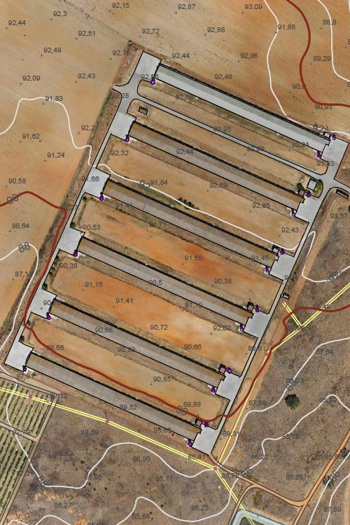
Founded in 2014, terraDrone is a portuguese company specialized in collecting georeferenced information via drone, capturing very high-resolution aerial images and processing photogrammetric or LiDAR data for cartography, topography or geographic information systems (GIS) and CAD.
What we do
The company has hundreds of projects and tens of thousands of hectares flown over in Portugal, Spain, Italy, Angola and São Tomé and Príncipe, in areas as diverse as renewable energy, environmental management, forestry and agricultural management, urban planning, cartography and topography, precision agriculture or 3D modeling.
We fly by your side
Because our success depends on the success of our customers and partners, we provide support at any stage of your project – aerial data acquisition, data processing, elevation and planimetric modeling or GIS / CAD editing.
